

Photogrammetry, Remote Sensing and Spatial Information Science in Australia
World leading geospatial research
Australia offers depth and balance across photogrammetry, remote sensing, and spatial information science, underpinned by internationally ranked universities with sustained ISPRS engagement.
Australian universities lead research in Earth observation analytics, LiDAR and sensor fusion, GeoAI, digital twins, spatial semantics, and 3D/4D modelling, with strong publication records and global collaborations. Many nationally recognised initiatives—often perceived as government led— are in fact conceived, developed, or co led by universities, ensuring scientific rigour and long term innovation.
This university driven ecosystem directly addresses ISPRS’s scientific mission and responds to the expectations of delegates seeking cutting edge research, doctoral engagement, and cross disciplinary exchange.
A globally recognised pipeline from research to operations
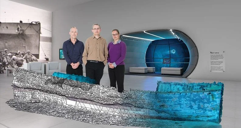
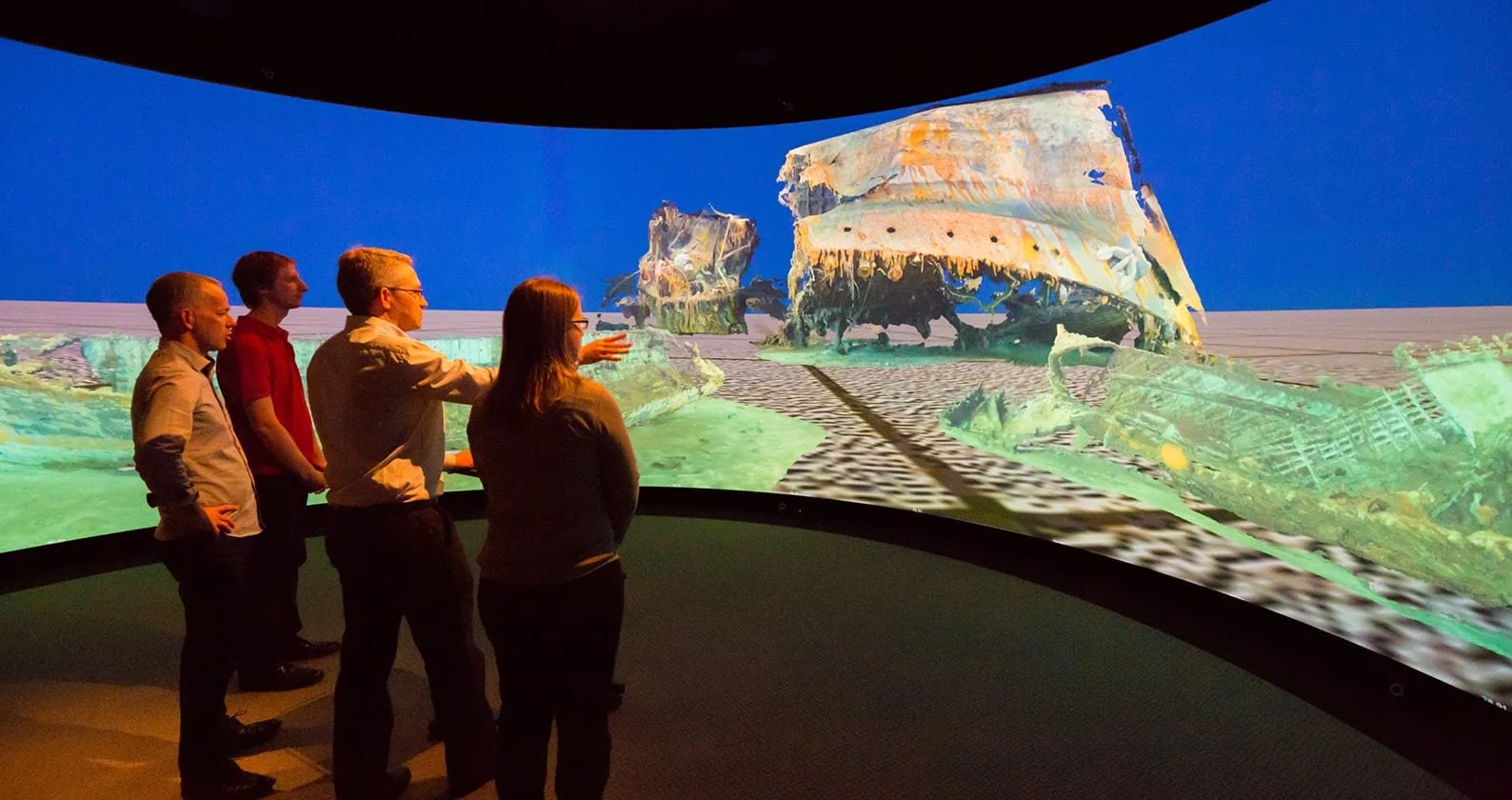
Australia is internationally recognised for translating geospatial research into large scale, operational systems. Flagship platforms such as Digital Earth Australia exemplify the full ISPRS value chain—from satellite acquisition and photogrammetric processing to time series analysis and decision support. These capabilities are built on open, scalable architectures developed through close collaboration between universities and national agencies.
Australia has contributed directly to the global mainstreaming of web mapping. Google Maps began as software developed in Sydney by Where 2 Technologies, acquired by Google in October 2004, and launched as a web mapping product in February 2005. This is a clear example of Australian innovation translating into worldwide operational impact in cartography, location services, routing, and geospatial user experience.
For ISPRS, this demonstrates more than technical capacity: it shows how scientific advances can be operationalised for environmental monitoring, disaster response, urban management, and policy decisions.
Australia has also demonstrated proven delivery capability by successfully hosting major ISPRS events, including the ISPRS Congress 2012 and the Technical Commission IV Symposium 2024, both aligned with ISPRS’s evolving focus on digital twins, multidimensional modelling, and open science.
The world’s oldest living geospatial science
Australia is widely recognised as the home of the world’s oldest continuous cultures, developed and maintained for over more than 65,000 years.
Aboriginal and Torres Strait Islander spatial knowledge systems encode routes, landmarks, water sources and ecological indicators through structured narratives and astronomical references — a practical approach to semantic mapping and navigation that parallels modern spatial information science principles (semantics, reference frames, and decision support).
Hosting ISPRS in Sydney provides a respectful platform to acknowledge this foundational contribution to spatial thinking while demonstrating how modern geospatial science can engage ethically with Indigenous knowledge systems.
Strength in standards, interoperability, and digital twins
ISPRS increasingly emphasises interoperability, machine readable geospatial information, and digital twins. Australia is internationally recognised for substantive contributions in this space, including leadership and participation in OGC standards, semantic geospatial frameworks, and practical BIM–GIS integration.
Australian research demonstrates real world implementations of legal 3D cadastre, volumetric land administration, and IFC based exchange, moving beyond theory into deployable workflows. These contributions sit squarely within ISPRS priorities around 3D/4D modelling, urban digital twins, and standards based data exchange, making Sydney a compelling venue to advance these conversations at global scale.
Strengthen ISPRS engagement in the Asia–Pacific region
Sydney would strengthen ISPRS’s presence in the Asia–Pacific, one of the fastest growing regions for geospatial science, Earth observation, and smart infrastructure. Australia offers a stable, inclusive, and globally connected environment, with a professional geospatial community that has evolved to integrate surveying, photogrammetry, remote sensing, and spatial information science under unified national representation.
Many neighbouring regions face escalating climate related risks and would significantly benefit from ISPRS knowledge exchange focused on monitoring, managing, and predicting areas of exposure using Earth observation and spatial data science. The same methods are equally critical for rapid response and recovery in emergency contexts, including earthquakes and other natural disasters, as demonstrated in comparable regional settings such as New Zealand.
Australia maintains strong scientific, professional, and capacity building ties with impacted nations across the Pacific and Southeast Asia, including collaborative initiatives showcased through regional geospatial and conservation programs (for example, Indo Pacific community focused projects highlighted at FOSS4G Perth and conservation training initiatives within the Coral Triangle).